Thinking about ditching the car, or at least using it less? If you live or work around Washington, DC, Arlington can make that lifestyle practical and enjoyable. You get short Metro rides, flat and well‑connected bike trails, and daily essentials within a quick walk. In this guide, you’ll see which Arlington neighborhoods fit a car‑light lifestyle and how to choose the right home for your routines. Let’s dive in.
Why Arlington works for car‑light living
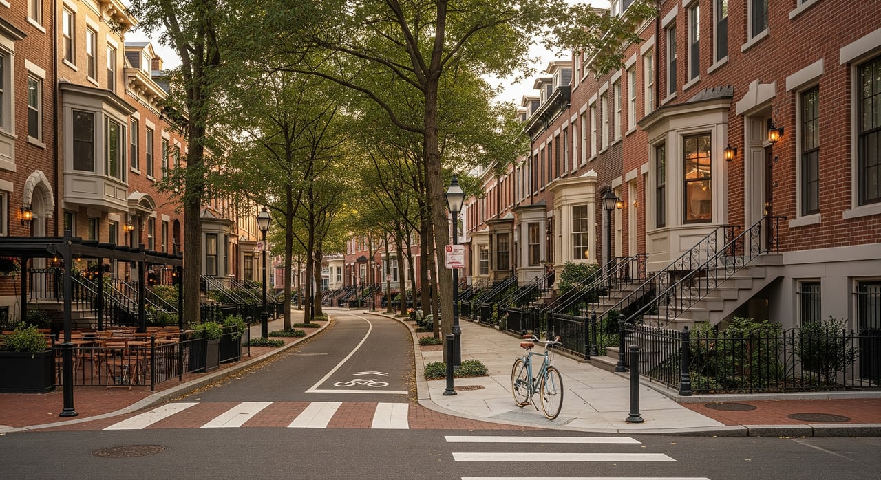
Arlington’s core corridors were planned around transit and mixed‑use living. You’ll find frequent Metro service, local buses, and safe bike routes that make daily trips simple. Many buildings sit a few blocks from groceries, pharmacies, and fitness options, so errands rarely require a car. The county also invests in complete streets and bike network upgrades, which helps you rely on multiple ways to get around.
Key modes that make car‑free living feasible:
- Metro access along the Orange and Silver Lines in the Clarendon–Ballston corridor, plus Blue and Yellow Lines in National Landing.
- Frequent Metrobus and Arlington Transit (ART) routes, with the Metroway Bus Rapid Transit serving parts of Crystal City and Potomac Yard.
- An extensive trail network, including the W&OD, Custis, and Mount Vernon Trails, with growing protected bike lanes.
- Capital Bikeshare stations in major nodes and e‑scooter options for quick first‑mile or last‑mile trips.
Common trade‑offs to weigh:
- Homes right next to Metro stations often carry a price premium.
- Busier streets and active nightlife can mean more urban noise.
- Hillier areas near Rosslyn and Courthouse may add effort to walks or bike rides.
- Parking options vary widely by building and can affect monthly costs.
Best neighborhoods to consider
Clarendon–Ballston corridor
If you want an urban, walk‑everywhere feel with quick Metro rides, start here. Ballston, Virginia Square, Clarendon, and Courthouse line up along the Orange and Silver Lines, so commuting into DC or across Arlington is straightforward. Frequent buses and nearby trails add flexibility on days you would rather bike or ride.
You can walk to grocery stores, coffee, fitness studios, and healthcare from most buildings. The W&OD Trail connects into Ballston, and on‑street bike lanes make short trips simple. Housing includes mid‑ and high‑rise condos and apartments, with some townhomes farther from the main stations.
Trade‑offs and tips:
- Expect more nightlife and street activity near Clarendon and Ballston centers.
- Homes closest to Metro often cost more than those a bit farther out.
- If you plan to rely on biking, check your building’s indoor bike storage and nearby repair options.
Best fit: You want an energetic, walkable environment with Orange and Silver Line convenience and direct trail access.
Courthouse–Rosslyn
Courthouse and Rosslyn sit on Arlington’s eastern edge with some of the fastest connections into DC. Rosslyn is a major transfer point for the Blue, Orange, and Silver Lines, and Courthouse is one stop west on Orange and Silver. That combination cuts travel time if you switch lines often.
Biking is excellent here. The Custis Trail begins near Rosslyn and ties directly to the Mount Vernon Trail and the W&OD, so you can ride east into DC or west across Northern Virginia. The sidewalks feel downtown‑like in places, though you will notice steeper grades between Rosslyn and Courthouse.
Trade‑offs and tips:
- Expect hills that can make walks and bike trips more strenuous.
- Some blocks near major streets and highways have more traffic noise.
- If you value quiet evenings, tour at different times to gauge ambient noise.
Best fit: You prioritize the fastest Metro transfers, frequent DC trips, and year‑round bike commuting options.
National Landing: Crystal City, Pentagon City, Potomac Yard
If airport access matters and you want modern mixed‑use development, look at National Landing. Crystal City and Pentagon City sit on the Blue and Yellow Lines, which also serve Reagan National Airport. Potomac Yard adds another station on this spine, strengthening links through Alexandria and into DC.
The street grid in Crystal City is largely flat and walkable, with new protected lanes and bridges improving bike and pedestrian connections. The Mount Vernon Trail is a short walk or ride away, and Metroway BRT offers reliable bus service through Crystal City and Potomac Yard. You will see a mix of new high‑rise condos and apartments alongside growing retail and entertainment.
Trade‑offs and tips:
- Ongoing redevelopment brings construction and periodic detours.
- Proximity to I‑395 and the airport can raise ambient noise in some pockets.
- If you travel often, the quick ride to DCA can outweigh minor noise trade‑offs.
Best fit: You want direct airport access, solid bus and Metro options, and a modern district with strong first‑mile and last‑mile choices.
How to choose the right car‑free home
Start with the trips you make most often. Your commute, grocery runs, daycare or school drop‑offs, and weekend plans should guide your search. Use the list below to evaluate each building and block as you tour.
Define your walk time to transit
- Set a daily walk goal, such as under 10 minutes to the nearest Metro. If the route is flat and well lit, you might accept 10 to 20 minutes.
- Walk the route during your typical commute time to see actual foot traffic and signal timing at crossings.
Check frequency and transfers
- Review peak and off‑peak schedules for Metro and key bus routes you would use.
- Minimize transfers when possible to reduce delays and improve reliability.
Confirm first‑ and last‑mile choices
- Look for Capital Bikeshare docks, secure bike parking in your building, and nearby ART stops.
- If your employer runs a shuttle, confirm the stop location and hours.
Map daily needs within 10 to 15 minutes
- Identify the nearest grocery, pharmacy, healthcare, daycare or schools, bank, and dry cleaner.
- Check weekend options like parks, gyms, and coffee shops to simplify your routines.
Assess bike comfort and storage
- Find protected lanes and multi‑use trails on your likely routes.
- Confirm indoor bike storage, repair stations, or nearby shops for tune‑ups.
Clarify parking policy and costs
- Ask whether parking is included, optional, or unbundled from condo fees.
- Note guest parking availability and costs if you expect visitors with cars.
Consider noise and environment
- Visit at different times of day to gauge aircraft, highway, or street noise.
- Note any construction underway that might affect walkability in the near term.
Review safety and lighting on your routes
- Evaluate lighting, crosswalks, and visibility on the paths you will use early or late.
- If helpful, review publicly available crime statistics for a fuller picture of conditions.
Track future projects
- Check county planning updates and BID announcements for streetscape improvements, new stations, or large developments that could improve or impact mobility.
- Timelines can shift, so focus on projects already under construction if you need near‑term benefits.
Compare total mobility costs
- Add up rent or mortgage plus transit passes, bikeshare, and rideshare or occasional car rentals.
- Compare that number to owning a car, including parking fees, insurance, and maintenance.
A day without a car: quick snapshots
Clarendon–Ballston
Morning: Walk 6 minutes to the Orange Line at Clarendon, then ride a few stops to downtown DC. Lunch errands: hop on a bikeshare for a quick grocery pickup. Evening: meet friends at a nearby restaurant, then stroll home along active, well‑lit streets.
Courthouse–Rosslyn
Morning: Roll onto the Custis Trail for a smooth bike commute into DC, avoiding traffic lights on most of the route. Afternoon: walk to appointments near Rosslyn, then transfer quickly between Metro lines for a meeting across town. Evening: take a low‑gear walk back uphill or ride an e‑scooter for an easier return.
National Landing
Morning: Catch the Yellow Line at Crystal City for a direct ride to Reagan National Airport for a day trip. Afternoon: use Metroway BRT to Potomac Yard for shopping, then bike back on the Mount Vernon Trail. Evening: enjoy new restaurants clustered near Metro and stroll home on a flat route.
Try before you buy: testing car‑free living
- Take your exact commute on Metro during your normal rush hour to confirm timing and transfers.
- Walk your daily errand loop and note signal timing, sidewalk quality, and lighting.
- Ride your likely bike route on a weekday and a weekend to compare comfort.
- Do a full grocery run without a car and see how the carry feels with a backpack or cart.
- If you expect guests with cars, test building guest parking or nearby paid garages.
Final thoughts and next steps
Car‑free or car‑light living in Arlington is not only possible, it can be convenient and enjoyable if you choose the right block and building. Focus on realistic walk times, frequent transit, and a complete daily‑needs map within 10 to 15 minutes of your front door. Then compare total mobility costs to see the full value of going car‑light.
If you want a tailored shortlist, building‑level guidance on parking policies, and a smart offer strategy, connect with Koki Adasi. Our team helps you weigh trade‑offs, test routes, and secure the right home in the DMV’s most walkable corridors.
FAQs
Which Arlington areas are best for car‑free commuting to DC?
- Rosslyn and Courthouse for the fastest transfers across multiple lines, plus Clarendon–Ballston and National Landing for frequent service and short rides.
How realistic is year‑round bike commuting in Arlington?
- The Custis, Mount Vernon, and W&OD Trails support many year‑round riders, with comfort affected by winter maintenance, weather, and route elevation.
Can families live car‑light in Arlington?
- Yes, especially in Ballston, Clarendon, Courthouse, and parts of National Landing, if you prioritize proximity to schools, parks, groceries, and safe walking routes.
How easy is airport access without a car?
- Very easy from Crystal City and Pentagon City on the Blue and Yellow Lines, which provide direct access to Reagan National Airport.
What if I need a car occasionally?
- Mix in rideshare, short‑term rentals, carshare where available, and optional paid parking in some buildings for flexible access without full ownership.